GISpipe
Management
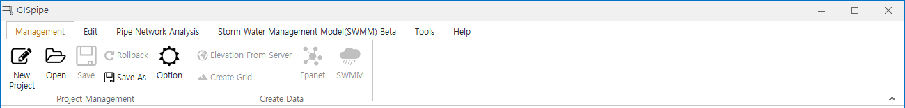
1 Project Management
- New Project
- Open
- Save
- Rollback
- Save As
2 Crea Data
2.1 Elevation From Server
- Global 30m altitude data provided by NASA (Shuttle Radar Topography Mission).
- Clicking on the server elevation data downloads the local altitude data from the server.
- This function must have coordinate system information on all layers.
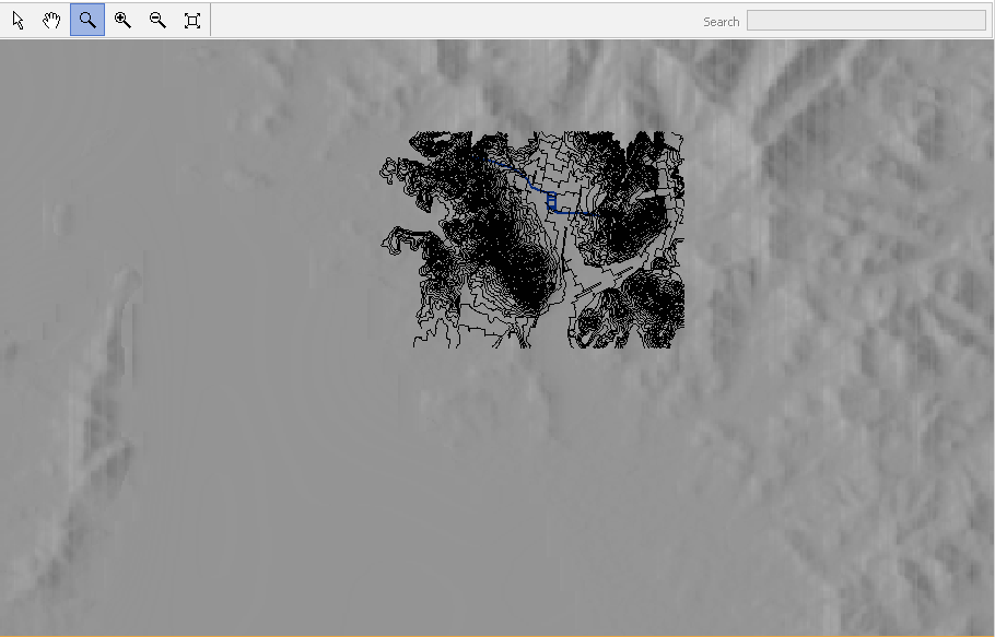
2.2 Create Grid
- This function creates an elevation grid using the elevation data.
- This function is used to enter an elevation value of the node when creating a network.
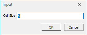
- Click on the Create Grid button and the following window will appear :
- If you enter a cell size, the elevation grid will be created.
2.3 Epanet
- Epanet is a function that creates EPANET INP file from GIS water facility data.
- In order to generate the Epanet inp, water pipes layer, the water meter layer, the elevation layer, and Excel usage data are required.
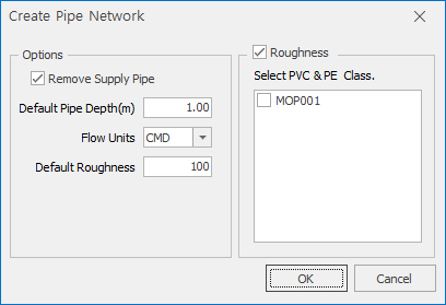
2.3.1 Option
- Remove Supply Pipe
- Default Pipe Depth
- Flow Units
- Default Roughness
2.3.2 Roughness
- The roughness is estimated in different ways between general pipes and PVC & PE type.
- The roughness is more accurate when there is a install date.
- If PVC & PE invert is selected on the screen above, the non-selected pipe is calculated as normal pipe type.
2.4 SWMM