help@gispipe.com


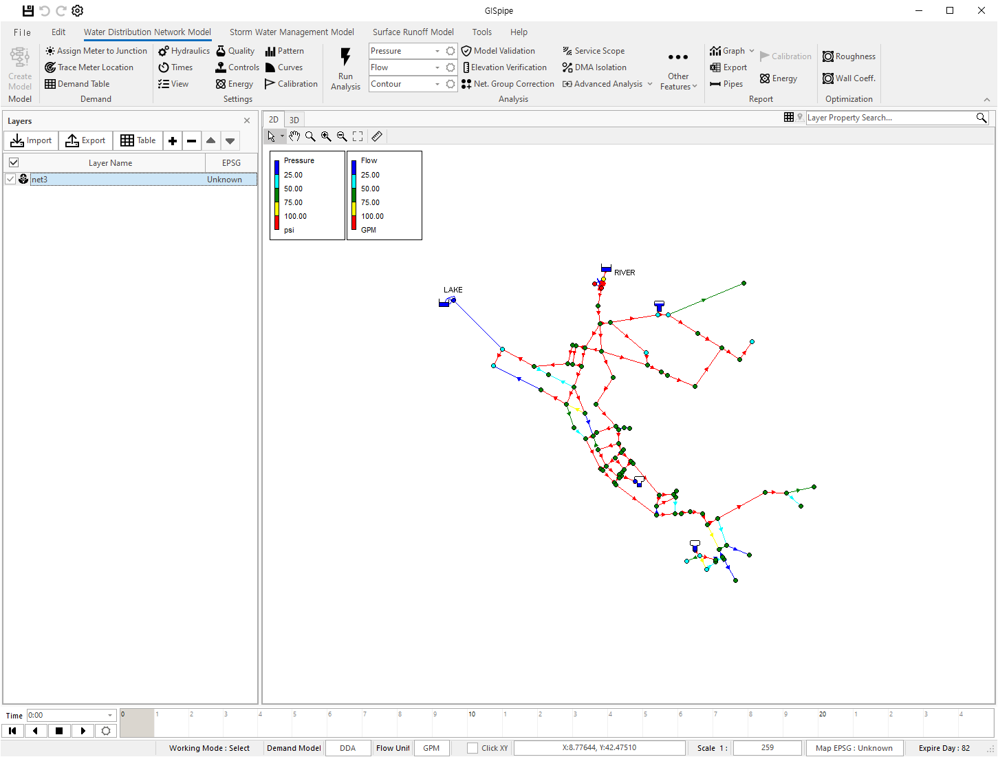
GISpipe is a software which easily use for the analysis, design, and operation of water distribution networks Integrated with GIS system.
If you have questions or need to know about GISpipe, please contact us.
GISpipe is an integrated software designed to facilitate the analysis, design, and operation of water and sewer network systems.
Developed based on Geographic Information Systems (GIS),
the software includes key components such as the water distribution network modeling tool EPANET, the stormwater modeling tool SWMM, and surface runoff models.

WDSA2012-BWNII-ProblemDescription
Read More >>SWMM is a physically based, discrete-time simulation model. It employs principles of conservation of mass, energy, and momentum wherever appropriate. This section briefly describes the methods SWMM uses to…
Read More >>

 한국어
한국어